Fewer blind spots
See the full site instead of relying on scattered photographs and memory.
Optional site data · Industrial drone solutions
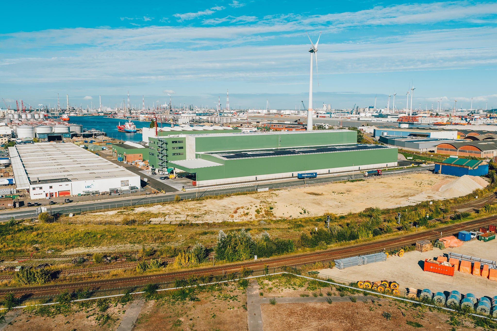
When attractive imagery is not enough, turn a large or difficult-to-read site into a clear overview your team can measure, compare and share. This can stand alone or be added to an already planned site visit.
See the full site instead of relying on scattered photographs and memory.
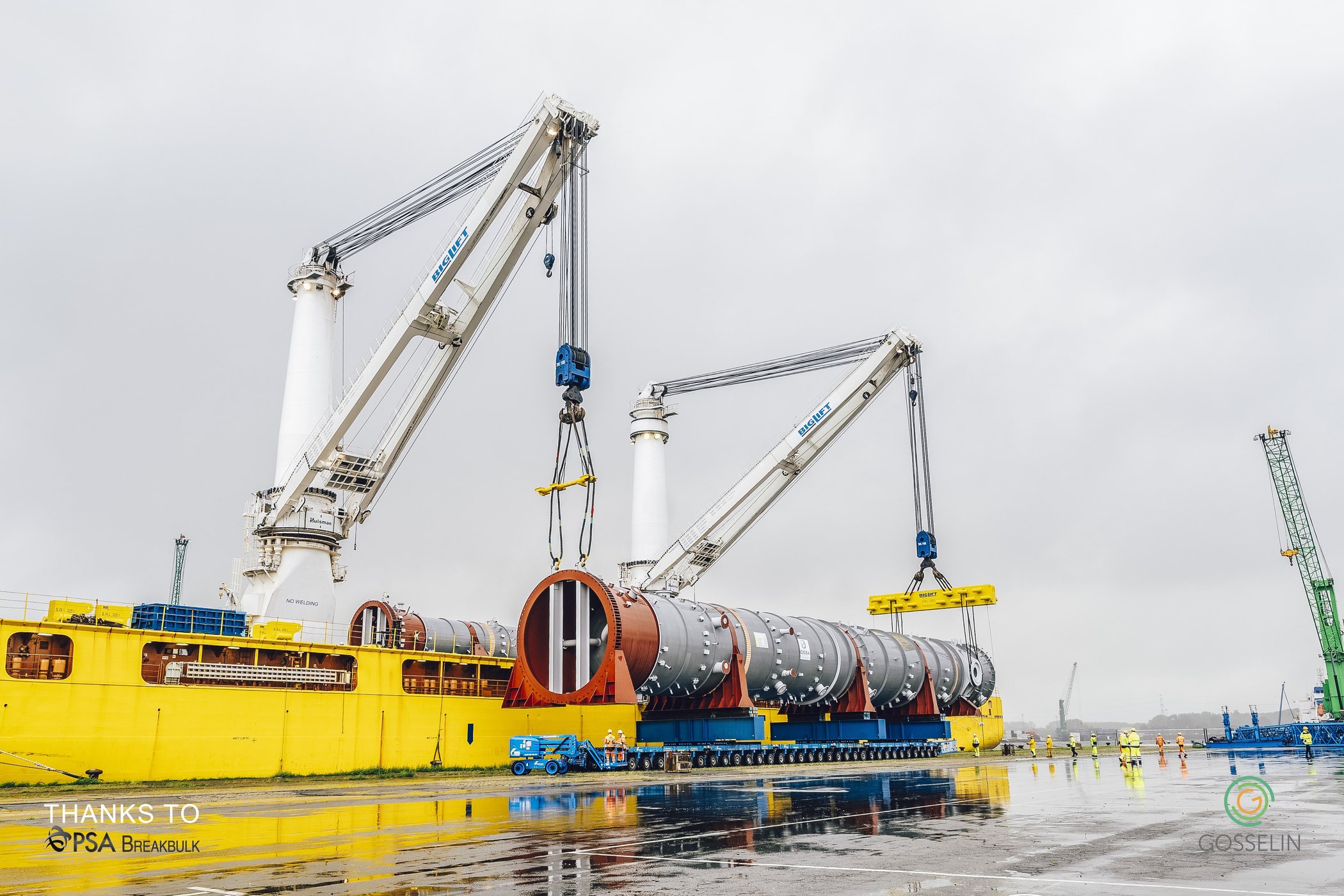
Capture large areas and difficult viewpoints while working around site operations.
Give every stakeholder the same current visual reference.
A useful add-on, not a default package
You do not need to know whether to ask for an orthomosaic, model or measurement. Start with the question your team cannot answer easily; I can suggest the lightest useful output.
If a creative flight or construction visit is already scheduled, data capture can often be planned alongside it—reducing coordination and making the day work harder.
Possible outputs
Tell me what is slow, unclear or difficult to verify. The right output follows from that question.
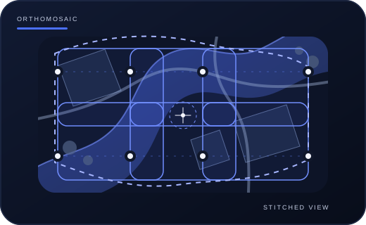
See the complete site in one current, detailed top-down image. Annotate it, compare it and share the same overview with everyone involved.
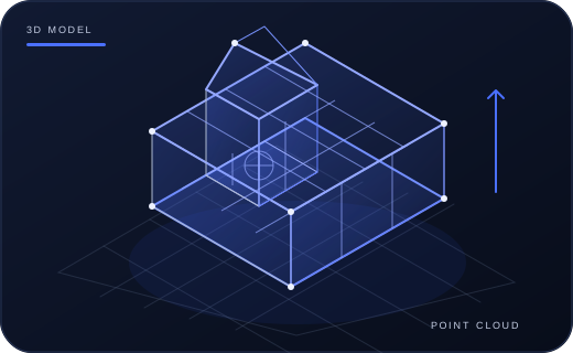
Review a site or structure remotely from angles that ordinary photographs cannot provide. Useful for planning, context and clear presentations.
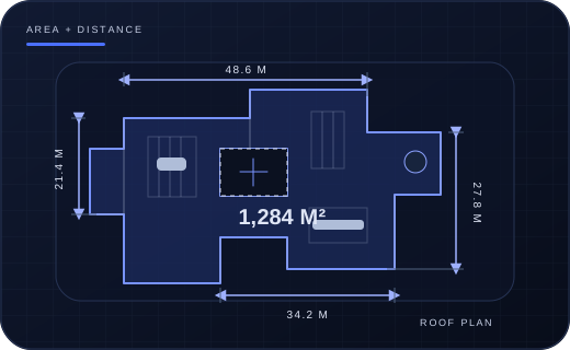
Answer practical size and distance questions from one processed dataset. The required tolerance and validation method are agreed before capture.
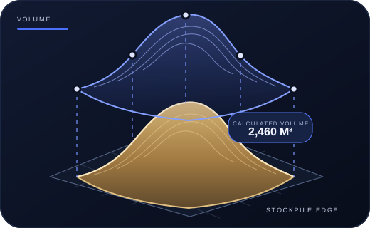
Estimate stock, excavation or material volumes without manually walking every pile, then compare how quantities change over time.
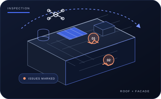
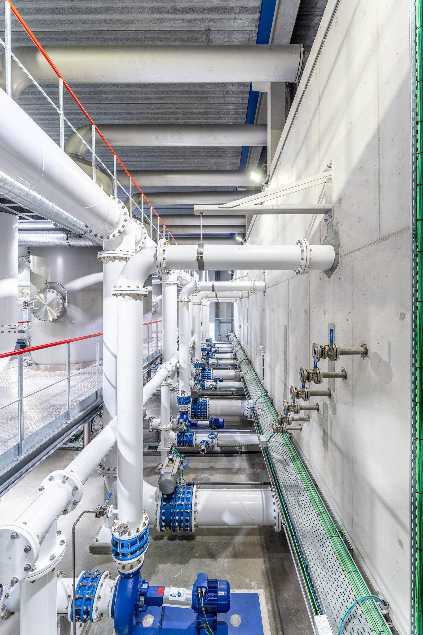
Give your specialist a structured close view of roofs, façades and installations while reducing difficult or disruptive access.
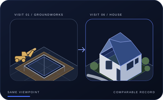
Return to the same planned mission and make change visible to clients, management and remote stakeholders.
Suitable for
Show progress clearly, compare stages and keep remote stakeholders aligned.
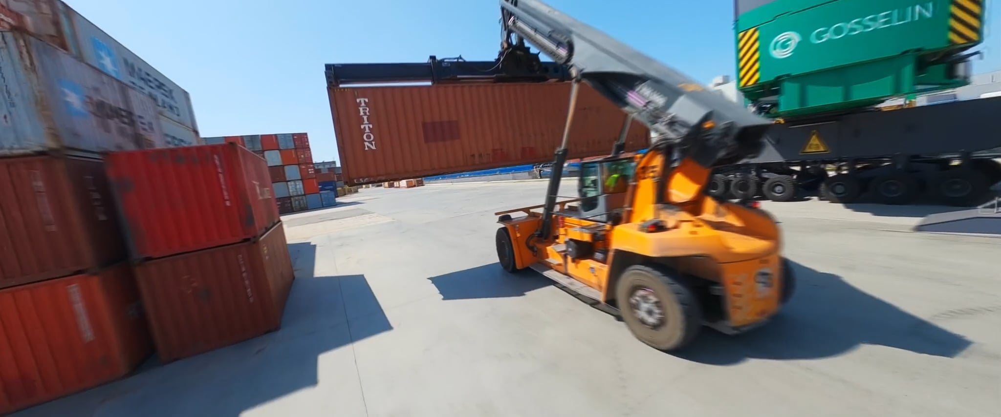
Make large yards, cargo areas and infrastructure understandable in one view.
Follow changing piles, excavations and quantities with less manual site work.
Review roofs, façades and surrounding context before planning access or maintenance.
Complex sites
Operational sites require coordination. Airspace, access, safety procedures, working zones, people on site and third-party approvals are part of the feasibility check.
Share the site boundary, desired output and timing. The capture method can then be matched to the decision the data needs to support.
Workflow
What needs to be measured, compared, communicated or inspected?
Site boundaries, airspace, access, operations and permissions.
Coverage, resolution, tolerance, control method and timing.
Collect imagery, process the dataset and complete quality checks.
Agreed files for review, reporting, presentation or further specialist use.
Accuracy
Achievable accuracy depends on the aircraft and sensor, flight height, terrain, weather, ground control and processing method. Deliverables are not presented as certified survey data unless that service is explicitly included with an appropriately qualified survey partner.
Related experience
Initial feasibility
The site address, approximate area, required output and preferred date are enough for an initial review.
Discuss an industrial project