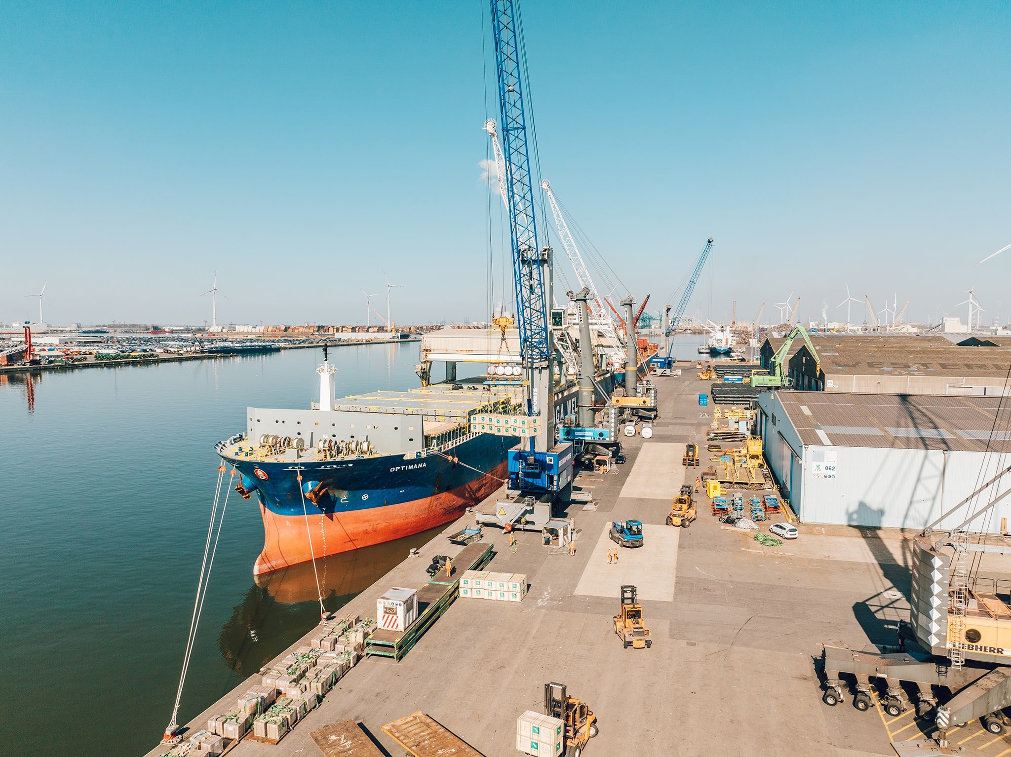
Cinematic aerials
A normal camera drone creates smooth, stable movement and clear overhead views—ideal for scale, geography and atmosphere.
Your audience understands where they are and why the location matters within seconds.Drone Filmmaking · Aerial + FPV
I use a normal camera drone for smooth aerial scale and FPV—flown through goggles—for precise routes through and around a location. I choose or build the setup around the shot, not the other way around.
Capabilities
A normal camera drone establishes scale. FPV lets the viewer experience a continuous path through the space. A production can use either one or combine both, depending on what the audience needs to understand.
A normal camera drone creates smooth, stable movement and clear overhead views—ideal for scale, geography and atmosphere.
Your audience understands where they are and why the location matters within seconds.FPV means I fly through goggles. That direct control lets me move precisely between structures, around machinery and through a continuous route that a normal drone cannot follow.
Viewers experience how the spaces connect instead of looking at disconnected shots.When an off-the-shelf aircraft is wrong for the space, payload or route, I configure or build the drone around the shot and its safety plan.
The flight solution fits the location instead of forcing the idea to fit the equipment.Port & complex locations
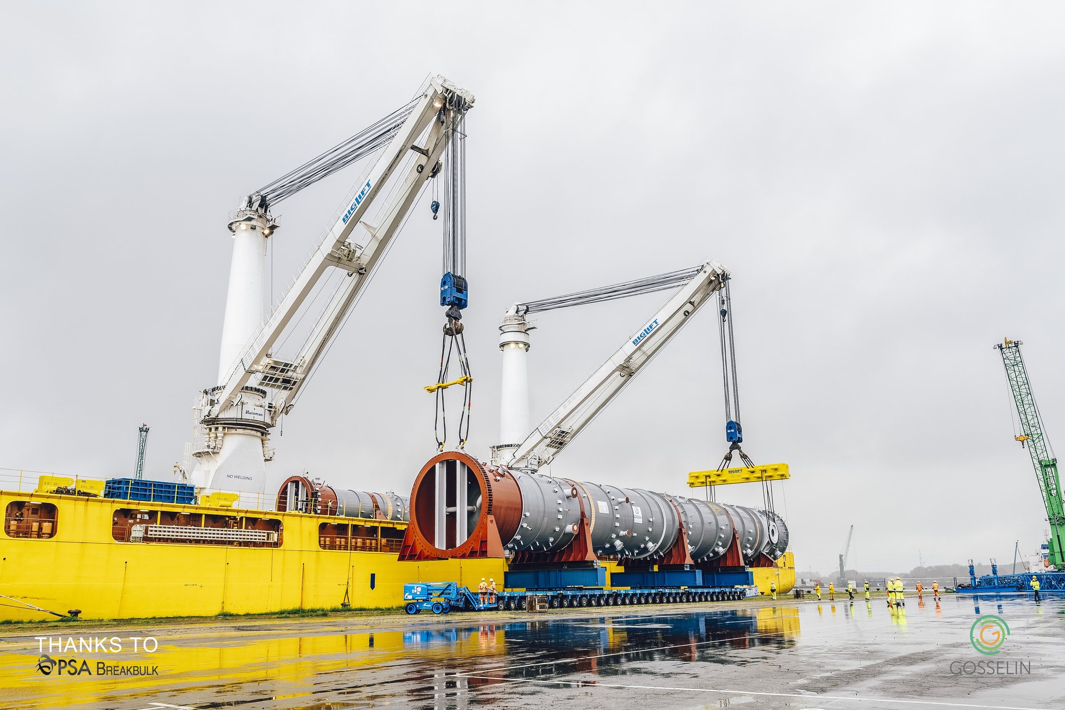
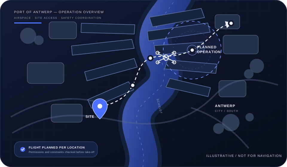
Harbours, industrial sites and controlled airspace require more coordination, but that should not become your problem to untangle. Share the location, route and preferred date; I review airspace, access, site operations and the approvals that may be needed.
Flights around the Port of Antwerp-Bruges are assessed case by case and proceed only when the flight and site permissions are in place.
Let me check the locationOptional, while I am there
The main brief can stay a cinematic aerial or FPV film. If it helps the project, the same visit can also create a social update, a repeatable construction record or useful site data.
Combine FPV, wide aerials and ground-camera footage so the result shows both scale and human detail.
Explore video ↗ 02 · Recurring add-onReturn to consistent viewpoints and routes, then turn months of change into clear updates and a final film.
Explore progress coverage ↗ 03 · Data add-onAdd an orthomosaic, measurements or a 3D model when the team needs more than attractive imagery.
Explore site data ↗None of these are required packages. They are practical options when one planned visit can save the client a second production day.
Process
Decide what the viewer should see and in what order.
Review airspace, access, people, operations, weather and permissions.
Build a clear route, safety plan and realistic production window.
Deliver the drone film on its own or integrate it into a wider production.
Start with the location
Send the address, a rough date and what you want the flight to reveal.
Send an enquiry